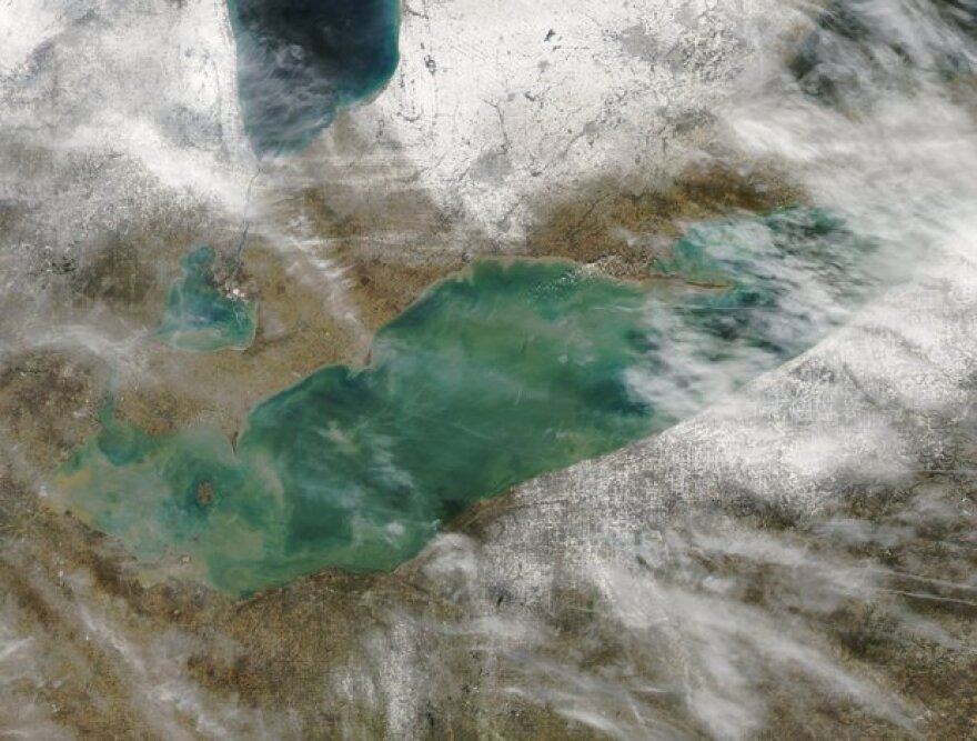
Last year about this time, Lake Erie was almost completely ice-free. That was attributed mostly to the mild winter brought on by warm ocean currents associated with an “El Nino” weather pattern. This year, cooler currents connected with a “La Nina” pattern are at work. Gary Garnet, the head meteorologist at the National Weather Service office in Cleveland, says a “La Nina” winter makes it harder to predict Lake Erie ice cover.
“They can range anywhere from being cooler or warmer. Typically, though, when there’s a La Nina winter we’re a little bit wetter than normal. So that is the forecast for this winter; temperatures which we would consider a typical winter here in Northeast Ohio with a little bit above normal precipitation.”
Garnet says Lake Erie’s maximum ice cover comes between February and March. The problem with an ice-free Lake Erie is that when cold wind from the north blows over the open water it can generate heavy lake-effect snow.


